The City of Colwood is taking steps to protect the natural areas that make it a unique and desirable place to live. Development proposals in designated areas will follow a site adaptive planning approach with the goal of designing structures to fit into the natural landscape as much as possible, and minimize alterations to natural features to make roads and buildings fit.
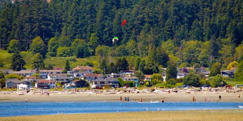
The City of Colwood is open for business and has a high inventory of land in prime development areas designated for higher density. Several significant projects are underway in heart of the City, including Colwood Corners, Brookes School, the Centre for Well Being, Pacifica Housing’s Helios affordable housing, Westshore Lodge seniors residences and others. At the same time, Colwood is rich in assets that a city cannot buy or build – ocean shorelines, hillsides and forests.
Mayor Hamilton notes that this shift began back in 2016 with extensive community engagement into the City's Official Community Plan. “In updating our Official Community Plan, we have talked to thousands of residents and partners, asking what they value most about Colwood,” said Mayor Hamilton. “Over and over we heard that what draws people to Colwood is the waterfront, the views, the trees, and the connection to nature they feel here.”
Council recently directed staff to use existing regulatory tools to apply site adaptive planning principles to hillside development in response to this public feedback.
Protecting natural areas promotes a high quality of life for residents, but it also makes financial sense by taking advantage of natural ecosystems and infrastructure.
“We have had our share of hillside properties flattened to accommodate new buildings,” said Hamilton. “We lose natural areas and gain a lot of costly infrastructure that will require tax revenue to maintain and repair over time.”
Development proposals will begin with a site analysis to map out the natural features, then building lots will be designed for the best use of the landscape.
Below is a simple three-part example using illustrations created by Professor William Marsh, author of several books on environmental geography and landscape planning. Professor Marsh presented these illustrations at the Colwood OCP Speaker’s Night in November 2016.
1. Take a hillside setting with wooded areas (green) and slopes (yellow) as shown below.

2. A traditional development plan would flatten the slopes and remove the trees for the maximum number of lots as shown below:

3. The site adaptive planning approach below preserves the trees, slopes and natural features, fitting the same number of building lots into the natural surroundings. The lots may be subject to less terraforming as they are respective of the existing natural topography, and property owners have access to natural open space areas adjacent to their properties.

Colwood staff have worked with a number of developers and architects to integrate site adaptive planning concepts into their proposals. Resulting plans demonstrate how the approach creates desirable, valuable and responsible development.
Learn more about the Colwood Official Community Plan update
Colwood’s new draft Official Community Plan will presented for public review this fall. Read more about the Colwood Making Waves Official Community Plan update at www.colwood.ca/MakingWaves.
-30-
Media Contacts
Sandra Russell, Communications Manager (srussell@colwood.ca)
Find this release online at www.colwood.ca/news-events/news.
Follow @CityofColwood on Facebook, Twitter, and Instagram
Subscribe for email updates at www.colwood.ca/subscribe.